Windhoek to Kolmanskop Road Trip
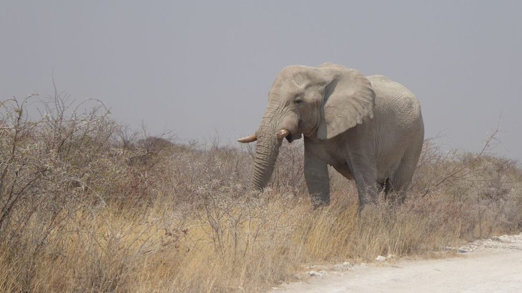
Windhoek to Kolmanskop is around 800 kilometres and should take four to five days rather than one. The direct run is tar the whole way and dull. The route worth driving takes in the Quiver Tree Forest, Fish River Canyon, the wild horses at Garub and Aus before reaching the diamond ghost town. Kolmanskop permits must be bought the day before.
The Route in Outline
Two versions of this drive exist and they are not comparable.
The direct route runs south on the B1 to Keetmanshoop, then west on the B4 through Aus to Lüderitz, roughly 800 kilometres of tar. It can be driven in a very long day and delivers almost nothing.
The route worth taking uses the same roads and stops properly: Keetmanshoop for the Quiver Tree Forest, a detour southwest to Fish River Canyon and Ai-Ais, then back north and west through Aus for the wild horses at Garub, and on to Lüderitz and Kolmanskop.
Four to five days is the working minimum for that. Six is comfortable.
Everything on the main route is tarred, which makes this one of the easier long drives in Namibia, and the detours to the canyon and the quiver trees are short gravel runs.
Buy your Kolmanskop permit the day before at the tourist office on Bismarck Street in Lüderitz, not at the gate. Standard permits cover the guided tour at set times. Photography permits allow earlier access, which is when the light comes through the empty window frames into the sand filled rooms and the site actually works. Travellers who turn up at Kolmanskop expecting to buy at the entrance frequently miss both.
Day One: Windhoek to Keetmanshoop
The first leg is around 480 kilometres of B1 tar and takes five to six hours.
It passes Rehoboth, the centre of the Baster community with its own distinct history and identity, and Mariental, the agricultural town serving the Hardap irrigation scheme.
Hardap Dam near Mariental is the largest dam in Namibia and worth a short detour for anyone interested in seeing standing water in this country, with a game reserve alongside it.
The drive itself is long, straight and mostly empty. Break it rather than pushing through.
Keetmanshoop is the southern regional centre with fuel, supermarkets, banks, ATMs and accommodation, and it is the base for the quiver trees.
Day Two: The Quiver Tree Forest and Giant’s Playground
Two sites sit close together northeast of Keetmanshoop on the C17 and both are worth the morning.
The Quiver Tree Forest is a natural stand of around 250 quiver trees on dolerite, declared a national monument, with the oldest two to three centuries old. Quiver trees are not trees at all but aloes growing to tree size, and San hunters hollowed the light fibrous branches to make arrow quivers, which gives the name.
Sunrise and sunset are when it works, with low light on the golden flaking bark. At midday it flattens out.
Giant’s Playground sits nearby, a field of dolerite boulders stacked into improbable towers by weathering along joint lines, and it is a short walk rather than a hike.
Both sit on private farmland with an entry fee, and the same farm usually covers both.
The Mesosaurus fossil site is also in this area, holding fossils found in only two places on earth, here and in South America, which formed part of the evidence for continental drift.
Day Three: Fish River Canyon
The canyon is the detour that makes this route rather than a drive.
Fish River Canyon is around 160 kilometres long and 550 metres deep, among the largest in the world. Hobas at the northern end holds the main viewpoints, reached via the C12 and C37, where you pay before driving the last ten kilometres to the rim.
Sunrise and sunset are when the rock strata turn from grey through copper to deep rust within minutes. Winter mornings at the rim drop below freezing.
Day visitors are not permitted to descend into the canyon at all, following incidents of people becoming lost or injured. The multi day trail requires a permit, medical certificate, minimum party size and runs only from 1 May to 15 September.
Ai-Ais at the southern end holds the hot springs, 68 kilometres from Hobas by road, with thermal baths and heated pools. It is the natural overnight after the rim.
Day Four: Aus and the Wild Horses
From the canyon the route runs northwest to Aus on the B4.
Aus is a small village on the road between Keetmanshoop and Lüderitz, with fuel, a shop and lodges on the mountains behind it giving long views west across the plains.
Garub sits about 20 kilometres west of Aus on the B4, with a short signposted gravel track to a purpose built hide overlooking a waterhole. There is no fee and no booking.
The wild horses of the Namib come to drink here, one of very few feral horse populations living in genuine desert anywhere. Sunrise is the time, and winter mornings are genuinely cold.
Numbers have fallen sharply. Older sources putting the population at 250 to 300 are out of date, with recent counts running around 90 to 150 after a clan of spotted hyena took most of a generation of foals.
Oryx, springbok and ostrich use the same water, so the wait is rarely empty.

Day Five: Lüderitz and Kolmanskop
The final leg runs 125 kilometres west from Aus to Lüderitz, and sand blows across the road on this stretch.
Kolmanskop sits about ten kilometres before Lüderitz, a diamond mining town abandoned in the middle of the last century and now half filled with sand. Doorways open onto dunes, sand climbs walls to window height and light comes through empty frames into rooms that were once a hospital, a ballroom, a bowling alley and a casino.
Morning is when it works photographically, with light entering the eastern windows.
Lüderitz itself is a German colonial town on a rocky Atlantic peninsula, with Art Nouveau buildings, the Goerke Haus, Felsenkirche and a working harbour. It feels stranded, which is its charm.
Diaz Point sits southwest with a replica of the cross Bartolomeu Dias erected, along with seals and penguins offshore. Catamaran trips from the harbour visit Halifax Island for African penguins and Heaviside’s dolphins.
Shark Island in the harbour was the site of a concentration camp during the genocide, and it now holds a campsite, which is a difficult juxtaposition worth knowing about before arriving.
Practicalities
A few things shape this route more than the map suggests.
Fuel is available at Rehoboth, Mariental, Keetmanshoop, Aus and Lüderitz, with nothing dependable between Aus and Lüderitz. Fill at Aus.
The main route is tar throughout. The detours to the canyon, the quiver trees and Garub are short gravel runs manageable in an ordinary car in dry conditions.
Sand blows across the B4 between Aus and Lüderitz and occasionally requires care, particularly in windy conditions.
Distances are substantial and the country is empty. Do not drive after dark, and fill up more often than the arithmetic suggests.
Summer in the far south is severe, with the canyon exceeding 48 degrees, which makes April to September the sensible window for this route.
Extending the Route
Two extensions are worth considering if you have longer.
North from Aus, the D707 and the roads through Helmeringhausen and Maltahöhe run towards Sesriem and Sossusvlei, taking in Duwisib Castle on the way. That converts the southern loop into a full circuit reaching the dunes, and it is a considerably more interesting drive than returning on the B1.
South from the canyon, the Noordoewer crossing on the B1 leads into South Africa’s Northern Cape, with the Orange River forming the border. That suits anyone continuing to Cape Town or combining the two countries.
The Orange also offers multi day canoe and rafting trips camping on the bank, and largemouth and smallmouth yellowfish for anglers, with no crocodiles along most of the Namibian stretch.
Windhoek to Kolmanskop Questions
How long does the drive take?
The direct run is around 800 kilometres of tar and can be done in a very long day, which wastes the route entirely. Four to five days is the working minimum to include the Quiver Tree Forest, Fish River Canyon, the wild horses at Garub and Lüderitz. Six days is comfortable and allows two nights at the canyon.
Do I need a permit for Kolmanskop?
Yes, and it must be bought the day before at the tourist office on Bismarck Street in Lüderitz rather than at the gate. Standard permits cover the guided tour at set times. Photography permits allow earlier access, which is when light comes through the empty window frames into the sand filled rooms. Travellers arriving expecting to buy at the entrance frequently miss both.
Can I walk into Fish River Canyon?
Not as a day visitor. Descending is restricted to permit holding participants of the multi day trail, which requires a medical certificate, travel insurance and a minimum party size, and runs only from 1 May to 15 September. The rim viewpoints at Hobas are open year round and need no hiking fitness, just a head for heights.
Is it worth stopping for the wild horses?
Yes, since Garub sits directly on the B4 about 20 kilometres west of Aus with a short signposted track to a free hide, so it costs almost nothing to include. Sunrise is the time. Manage expectations on numbers: older sources quoting 250 to 300 are out of date, with recent counts around 90 to 150 after hyena predation on foals.
Do I need a 4×4?
No. The main route is tar the whole way and the detours to the canyon, the quiver trees and Garub are short gravel runs manageable in an ordinary car in dry conditions. A higher clearance vehicle is more comfortable on Namibian gravel overall, and the Kolmanskop access road is straightforward.
When should I do this route?
April to September. Summer in the far south is severe, with the Fish River Canyon exceeding 48 degrees, and the canyon hiking trail closes from mid September to May for that reason. Winter mornings at the canyon rim drop below freezing, which is worth packing for. Late April and early May are frequently the sweet spot.
Can I continue north to Sossusvlei?
Yes, and it makes a better circuit than returning on the B1. From Aus the D707 and the roads through Helmeringhausen and Maltahöhe run north towards Sesriem, taking in Duwisib Castle on the way. That converts the southern loop into a full circuit reaching the dunes and is a considerably more interesting drive than retracing your route.
Booking Your Namibia Trip
The safari companies and tour operators listed on this website put trips like this together for a living and know which camps, guides and routes actually deliver. We are an independent guide to Namibia; we do not book or sell tours ourselves.
When you are ready, arrange your safari, tour or holiday with one of the recognised operators listed here. Tell them your dates and what matters most, and a real person, not a form, will handle the itinerary, park bookings and logistics for you.